Weather

Weather flashes

Map of the weather flashes

Latest update :

What information is shown on the map?

For precipitation, a distinction is made between weather flashes for the next 10 to 20 minutes and for the next hour. For wind gusts, it is limited to the next 10 to 20 minutes.

How do I use the map?

When you browse a municipality, a text box appears notifying you of the type of risk and the time interval to which it applies. In "live" mode, the map is updated automatically every 10 minutes or so. It is also possible to zoom in. There is also a timeline that allows you to consult the archives up to two hours back.

What criteria and units are applied?

If the text indicates precipitation intensity in mm/h or, in the case of snow, in cm/h, it is valid for the next hour. If the intensity is expressed in mm/10 min or cm/10 min, it is valid for the next 10-20 minutes.

It is possible for 2 weather flashes to be valid at the same time for the same municipality. For example, for precipitation and wind, or for precipitation for the next 10-20 minutes and for the next hour.

The criteria for precipitation quantities in 1 hour are the same as those for provincial warnings. We have developed separate criteria for precipitation over 10 minutes because its impact is not the same as over a whole hour.

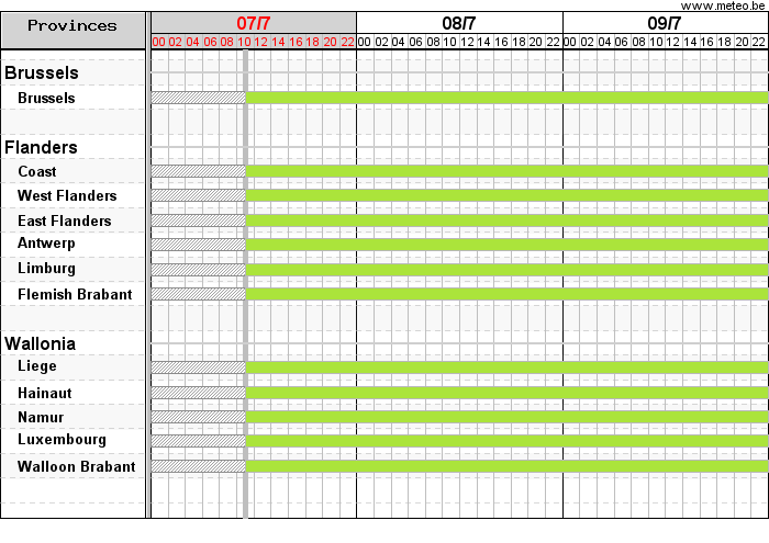
This map is only valid for weather flashes by municipality for the next 10 minutes to the next hour and should therefore not be confused with the map for provincial warnings, which generally apply for a period of several hours to several days. It is therefore common for these maps to have different colour codes.

Top

Cookies saved